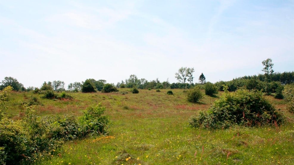
Rødme Svinehaver
This area is situated on a crest of hills rising up to an altitude of 110 metres above sea level between the Stenstrup ice lake to the north and a subglacial valley containing a row of lakes to the south
Habitat description
Rødme Svinehaver is a part of Egebjerg Bakker and includes an area of 0.07 km2 grassland that has never been cultivated but which has been grazed for centuries. The vegetation is species-rich with a number of rare plant species, among them a variety of protected orchids and arnica, which can only be found here in eastern Denmark. Thus, this area is probably the finest and most well-developed grassland on acidic soils on Funen. Large stones shape the area and tufts of yellow meadow ants dominate. In autumn 17 different species of rare wax caps of bright colours can be found in the area. Within the original grassland there is a bog with the rare insect-eating plant sundew. Around the original grassland, new areas of grassland, bogs and forests are being managed in order to maintain a high biodiversity.
Value
The area has a very high value not only as a haven for plants that currently exist in only a very few places, but also as an extremely rare example of a landscape that stands exactly as the ice left it.
Protection and legislation
A total of 0.41 km2 is internationally protected under the Natura 2000 area no. 241, habitat area no. H241. The purpose is for Rødme Svinehaver to become a large, cohesive natural area, which consists of a mosaic of acidic grassland in particular as well as fens, springs, lakes, bogs and forest. This will make the area more resilient to the effects of cultivation of the surrounding land and will help spread the plant and animal species that are characteristic of the habitats.
Rødme Svinehaver became a conservation area in 1939, when a local motorcycle club was considering building a motorcycle-track in the hills.
A great part of the area is also protected under a national law that protects various types of nature. In this case - grasslands, lakes and bogs.
Public access
The area is freely accessible to everyone and it is possible to walk around the area on a path. In the area's northwestern corner, a bonfire site has been established. In the southeastern corner, it is possible to connect to the Archipelago Trail.